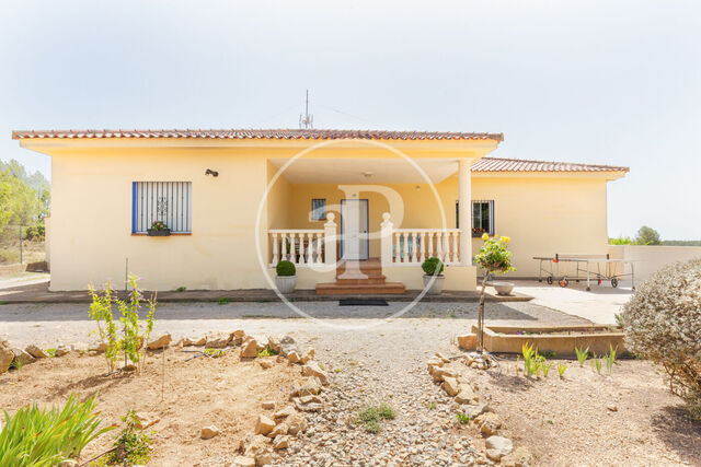
Albalat dels Tarongers
The town of Albalat dels Tarongers is located in the northernmost region of the province of Valencia, the Camp de Morvedre. At a distance of 31 km from the city of Valencia and 7 km from Sagunto.
With magnificent communications, it is crossed by the N-234 Sagunt-Somport highway and has direct access to both this highway and the N-340 road and the Sagunto-Valencia ring road. This communications network allows the approach and proximity to Valencia, Castellón, Teruel.
In the region of Camp de Morvedre, in an esplanade, on the left bank of the Palancia, is located ALBALAT DE LOS NARANJOS at an altitude of 97 meters above sea level.
It is bordered on the north by Estivella and Sagunto; on the east and south by Sagunto and Gilet; on the west by Náquera, Segart and Estivella. It has an area of 2,135 hectares.
Its main heights are: El Garbí (593 meters), Monte Redondo or Montalt (427 meters). El Pico de L'aguila, horse, Saler, Gitano, Palmeral, Buitrera, etc. being the most characteristic the one called “Cabeç Bord” of 238 meters of altitude, where 4 municipalities meet, Náquera, El Puig de Santa María, Sagunto and Albalat dels Tarongers.


